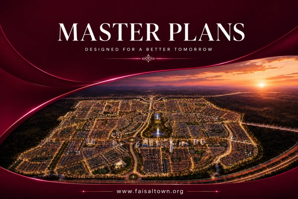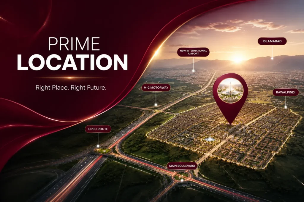

If you’ve downloaded the Faisal Town Phase 2 map PDF and feel lost, here’s a quick guide to make sense of it.
1. Start with the Legend
Every master plan has a legend, usually in a corner. It tells you which color means residential, commercial, parks, mosques, schools and graveyards. Check it first before reading anything else.
2. Blocks
The society is divided into blocks, marked with letters or names in bold. Each block has its own plot numbers. When a dealer gives you a plot number, always confirm the block too, because the same number can exist in different blocks.
3. Roads
- Main boulevards are drawn as the widest roads, often with a green median.
- Road widths (e.g. 40 ft, 50 ft, 80 ft, 100 ft+) are usually written along the road.
- Plots on wider roads and corners are generally more expensive.
- Look at how your block connects to the main entrance and the main access road.
4. Commercial Zones
Commercial areas are usually shown in a different color (often red, pink or orange) and lie along main boulevards or block centers. Plots facing a park, main boulevard or commercial area typically carry extra charges.
5. Plot Sizes
Small rectangles are plots. Size (5, 7, 10 marla, 1 kanal) is often shown by color or listed per block in the legend.
Tips Before Buying
- Get the latest map from the official Faisal Town office, as older PDFs may be outdated.
- Visit the site and match the plot’s location on the ground with the map.
- Ask about possession status and development of your specific block.
Have questions about a particular block? Contact us and we’ll help you find it on the map.